
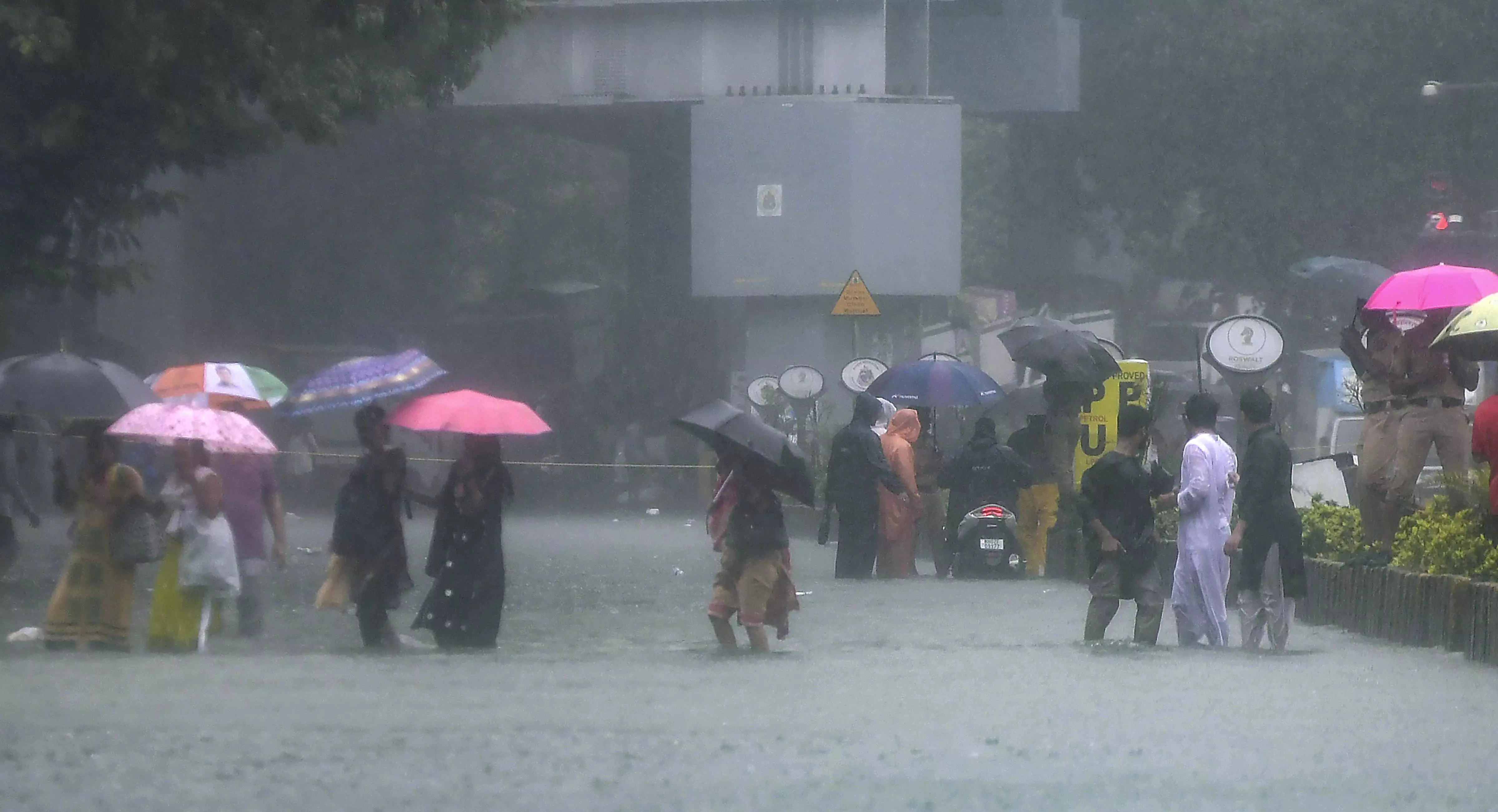
New Delhi, July 5 -- Heavy monsoon rain disrupted normal life across large parts of India on Sunday, grounding flights in Mumbai, flooding roads, triggering alerts for floods and landslides in Kerala, and prompting authorities in several states to prepare for more heavy rainfall over the coming days.
The India Meteorological Department (IMD) said a well marked low pressure area over the Bay of Bengal had intensified into a depression and was expected to cross the north Odisha coast within the next 24 hours. The system is likely to bring widespread heavy to very heavy rainfall across eastern India and keep the monsoon active over eastern, central and parts of northern India.
Mumbai faced the worst impact as intense overnight rain and strong winds forced the suspension of runway operations at Chhatrapati Shivaji Maharaj International Airport for about an hour. Four IndiGo flights were cancelled, while 13 incoming flights were diverted before later returning to the airport. Flight tracking data showed nearly 90 per cent of departing flights were delayed by an average of more than an hour, while almost half of arriving flights also suffered delays.
The IMD continued its red alert for Mumbai after several areas received more than 200 mm of rainfall, with some locations recording nearly 300 mm in 24 hours. Heavy rain led to waterlogging, traffic congestion and tree fall incidents. A 63 year old man died after a tree crashed onto a shop in Kurla, the second fatal tree fall incident reported in the city within a week. The civic administration declared a holiday on Monday for all government, private and civic run schools and colleges because of an orange alert for heavy rain. Odisha placed all districts on alert as the approaching depression threatened heavy rainfall. The IMD issued a red warning for Sambalpur, Angul, Boudh, Sonepur and Kandhamal districts, while orange and yellow alerts covered the rest of the state. Fishermen have been advised to stay away from the sea until July 7 because of rough to very rough conditions. Neighbouring West Bengal is also expected to receive widespread rainfall as the weather system moves inland.
Kerala recorded widespread rainfall on Sunday. Orange alerts have been issued for Kannur and Kasaragod on July 6, and for Kozhikode, Kannur and Kasaragod on July 7, while yellow alerts remain in force for several northern districts. The Kerala State Disaster Management Authority urged residents living in landslide, mudslide and flash flood prone areas to move to safer places if instructed by officials. Emergency control rooms have been activated across the state.
In Himachal Pradesh, light to moderate rain continued across several districts, with the local weather office issuing an orange alert for heavy to very heavy rainfall over the next two days. Ghamroor received 84.2 mm of rain, followed by Dharamshala with 39.2 mm. Since July 1, the state has recorded 44.2 mm of rainfall against the normal 27.2 mm, an excess of 63 per cent. Thunderstorms and lightning were reported in parts of Kangra and nearby areas, while Bilaspur recorded the state's highest temperature at 36 degrees Celsius.
Delhi registered its warmest July day in two years, with the maximum temperature reaching 38.6 degrees Celsius despite afternoon showers. Chhatarpur recorded 49 mm of rainfall, causing waterlogging, while Gurugram received 35 mm. Rain was also reported in Mehrauli, Greater Noida, Najafgarh and Janakpuri. The IMD has issued an orange alert for Delhi on Monday and forecast moderate rain as the monsoon trough shifts towards northwest India.
In Haryana, rain inundated several parts of Gurugram, including Narsinghpur, Rajiv Chowk, AIT Chowk, Khandsa Road and old Gurugram, although officials said underpasses remained operational. Hot and humid conditions continued elsewhere in Haryana and Punjab. Sirsa recorded a maximum temperature of 40.8 degrees Celsius, while Bathinda touched 40.3 degrees Celsius. The IMD said the southwest monsoon is likely to cover the remaining parts of both states within the next three days.
In Uttar Pradesh, the first major monsoon showers exposed infrastructure concerns after part of a road linking the Ganga Expressway with the Kanpur Lucknow National Highway caved in at Unnao. Muzaffarnagar received 9 mm of rain, while Prayagraj and Varanasi airport recorded 8.8 mm each. Lucknow remained hot and humid with a maximum temperature of 39 degrees Celsius. More rain, thunderstorms and lightning are expected over the next 24 hours.
Jharkhand is also likely to receive light to moderate rain with thunderstorms, lightning and gusty winds over the next four days. Yellow alerts have been issued for all districts from July 6 to 9, with heavy rainfall expected in several western and northeastern districts on different days.
Published by HT Digital Content Services with permission from Millennium Post.